Fishing Beat Maps
Abernethy & Aviemore Angling Association
Maps showing the fishing pools on both the Abernethy water and the Aviemore water, together with pool photographs, can be viewed at
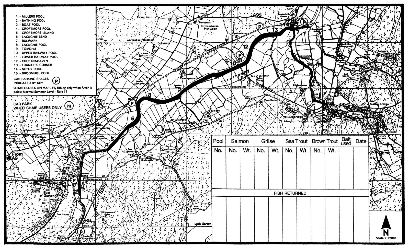
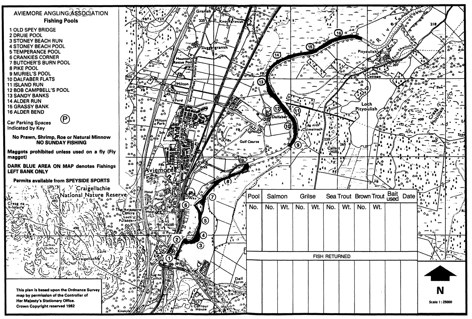
Maps of Fishing Pools on Association Beats
The maps shown below are issued with fishing permits
ABERNETHY FISHING MAP
Click image to enlarge
AVIEMORE FISHING MAP
Click image to enlarge
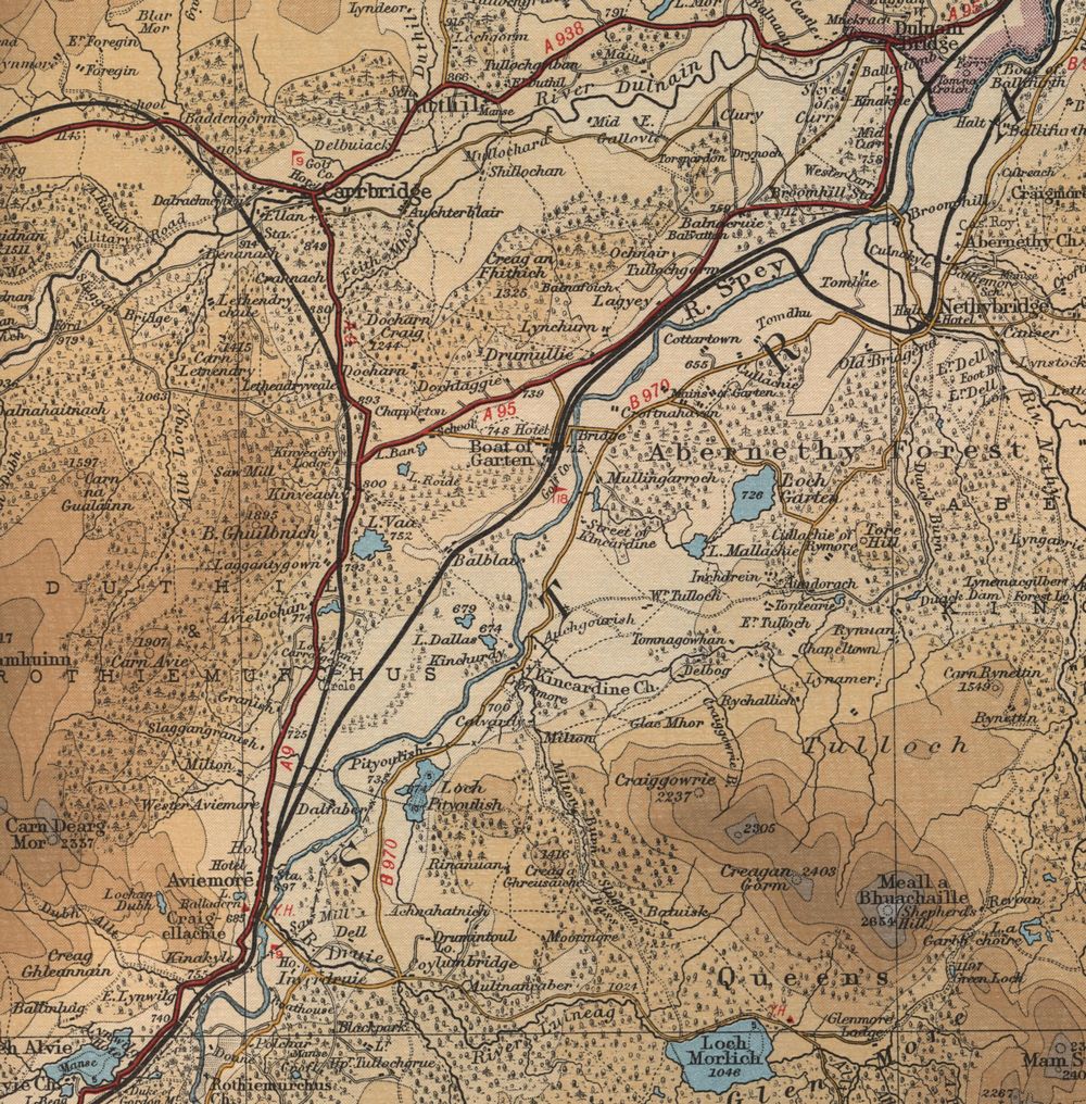
Old Abernethy Map
The map below shows the Abernethy area in the mid twentieth century. Note the railway lines!
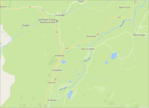
New Abernethy Map
Click on the map below to view a full interactive Google map of the Abernethy area. View street views and zoom in to Google Earth aerial views of the river and the fishing pools along the whole length of the Abernethy Angling Association water.